Sign In
|
Create an Account
Download MyFlightbook for your phone or tablet!
It's
free!
Home
Logbook
Add Flights
Search
Totals
Currency
Analysis
Download
Import
Starting Totals
Check Flights
Print View
Pending Flights
Aircraft
My Aircraft
Import
Models
Flying Clubs
Airports
Routes
Find Airports
Add/Edit Airports
Visited Airports
Airport Quiz
Training
Instructors
Students
Request Signatures
Endorsements
Ratings Progress
8710 / IACRA
Rollup by Model
Rollup by Time
Achievements
Profile
Account
Preferences
Pilot Info
Donate
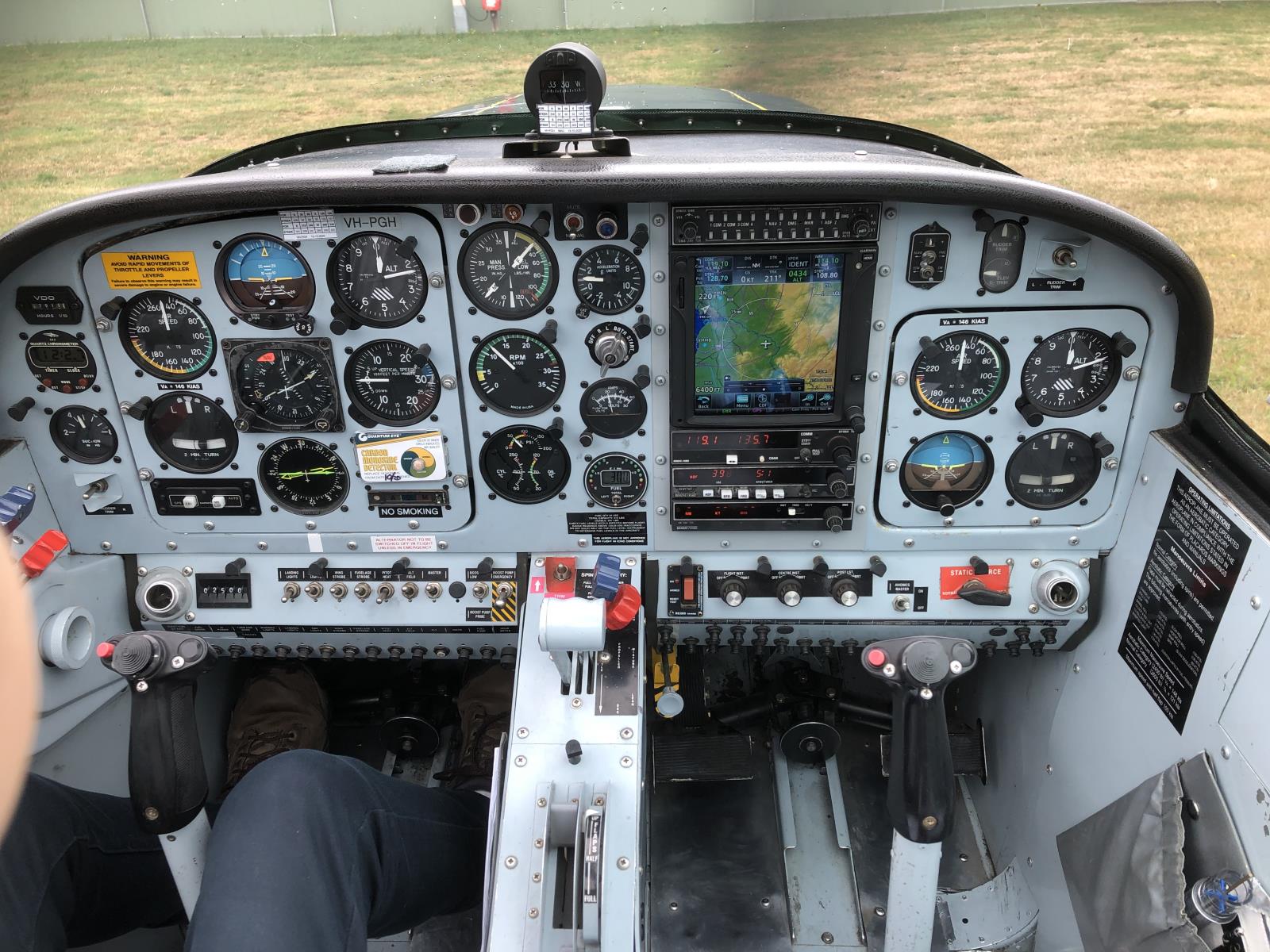
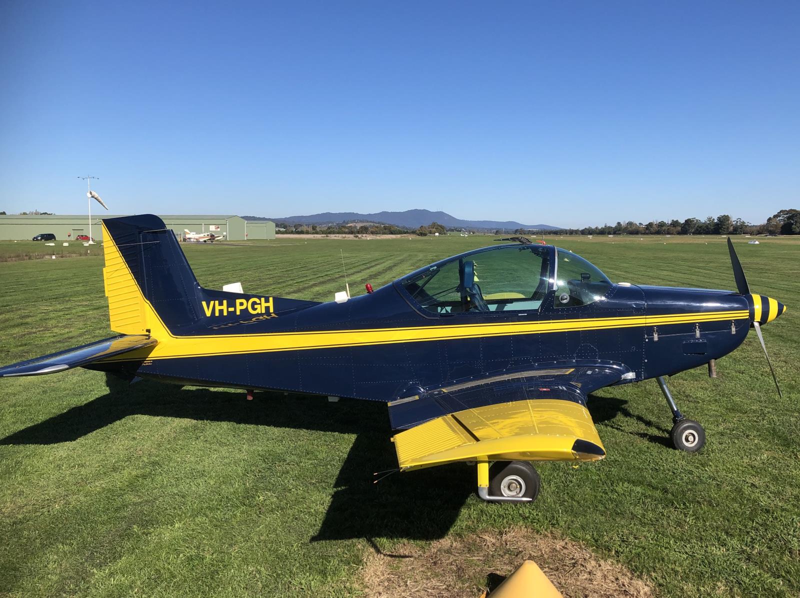
7/5/2023 - VH-PGH
View Flight Path
Display
Flight Details
Pictures
Linked Videos
Map
Airports
Path of flight (as flown)
Route of flight (airport-to-airport)
Images
Witold Szaters
YLIL YMML YBLT YMAV YMMB YLIL
Instrument flying lesson in IMC and on top
Zoom to fit entire route.
Average Speed: 103.2kts ● Path distance: 264.5NM ● Route distance: 172.7NM ● Longest Segment: 51.1NM (YMML⬌YBLT) ● Furthest distance from departure: 75.9NM (YLIL⬌YBLT) ● Furthest points from each other: 75.9NM (YBLT⬌YLIL)
Ballarat (YBLT)
Airport Information
FBO
METAR
Hotels near Ballarat
Lilydale Airfield (YLIL)
Airport Information
FBO
METAR
Hotels near Lilydale Airfield
AVALON, AVALON AUSTRALIA (YMAV)
Airport Information
FBO
METAR
Hotels near AVALON, AVALON AUSTRALIA
MELBOURNE MOORABBIN, MELBOURNE AUSTRALIA (YMMB)
Airport Information
FBO
METAR
Hotels near MELBOURNE MOORABBIN, MELBOURNE AUSTRALIA
MELBOURNE INTERNATIONAL, MELBOURNE AUSTRALIA (YMML)
Airport Information
FBO
METAR
Hotels near MELBOURNE INTERNATIONAL, MELBOURNE AUSTRALIA
This site uses cookies to maintain your authentication state, remember preferences, analyze traffic, and provide limited advertisement.
MyFlightbook Privacy Policy